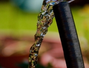
Tools.Valarm.net monitoring McCrometer E700 water flow meter sensors to make real-time water monitoring systems.
Have a gander at our Smart Water Monitoring Systems page for more on Valarm water solutions. You can also learn more about Valarm deployments for:
You and your team can use water flow sensors (like the McCrometer E7000 seen above or the McCrometer EA618) with Valarm to monitor water flow rates and water usage totalizers in real-time.
Whether you’re monitoring agriculture / viticulture, oil / gas / mining, municipal water treatment facilities or other industrial water plants, Tools.Valarm.net provides a cost-effective, rapidly deployable monitoring solution.
The McCrometer E7000 has an output that is linear with flowrate and uses the industry standard 2-wire 4-20 mA output. It can be installed in addition to any existing meters on the pipes and the E7000 supports meter sizes as large as 24″. The 4-20mA sensors send their sensor data using a closed loop so the sensor signal can travel long distances, up to thousands of feet / many meters. You can use pulse output flow meters made by any hardware manufacturer, like Seametrics, EKM, or any others.
Since your Industrial IoT sensor hubs support industry standard 4-20mA sensors, you have an affordable, real-time water telemetry solution that will save your time and your money.
Flow measurement rates are uploaded to Tools.Valarm.net via any internet connection (e.g., cell network 2G/3G/4G, WiFi, other) where you can map, graph, analyze, download, or forward your data in real-time using our APIs.
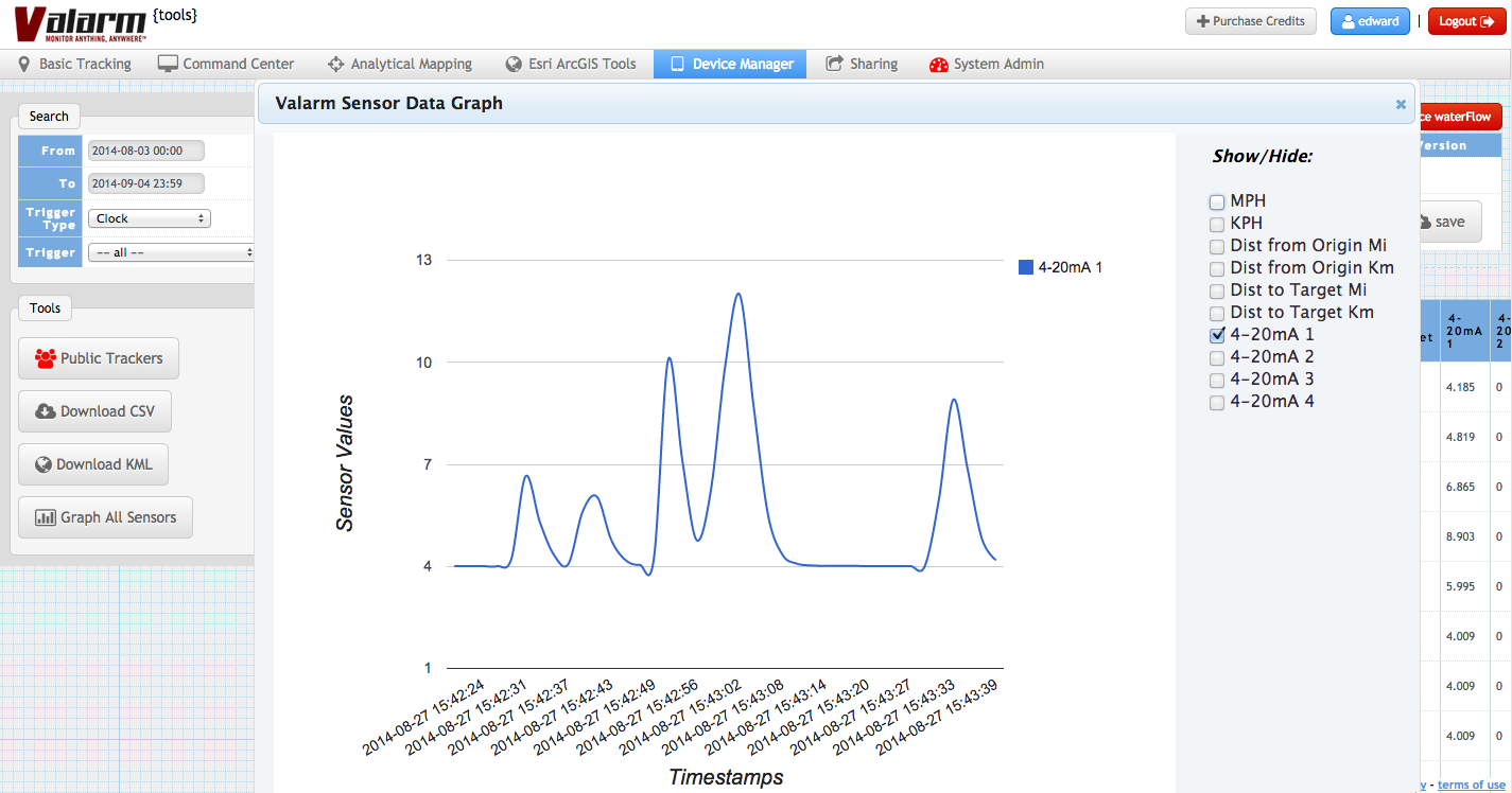
Graph from Valarm Tools Cloud showing waterflow sensor data acquired by integrating McCrometer E7000 water flow meters.
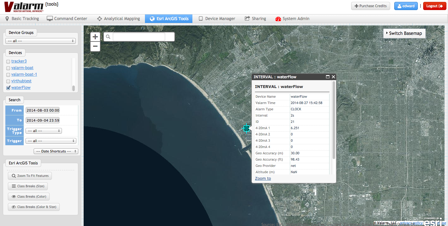
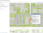
Your Industrial IoT sensor measurements are viewable on maps at Tools.Valarm.net. You and your team can also download your water flow data for further analysis in software like a GIS and/or forward sensor information in real-time using our APIs.