
 Gallery


Esri 3D Maps with ArcGIS + Your Organization’s Industrial IoT Sensor Monitoring Info – Now Available On Valarm Tools Cloud!
You can now visualize your Valarm Industrial IoT sensor information in 3D the next [...]


You can now visualize your Valarm Industrial IoT sensor information in 3D the next [...]

This week we’re at the Esri Arc GIS User Conference in San Diego. There are [...]


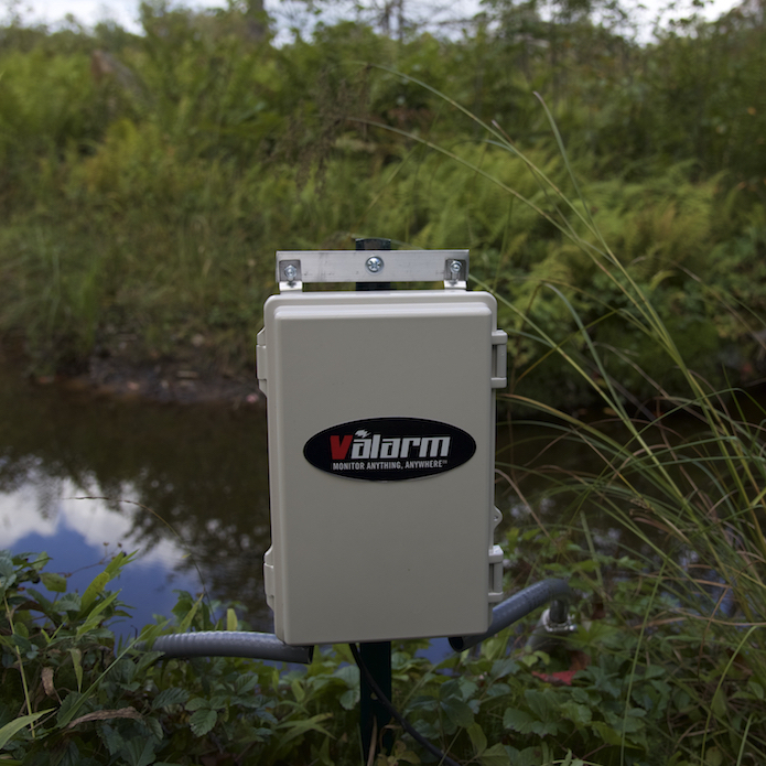
Recently we’ve had more and more customers using Tools.Valarm.net for remote air quality monitoring, like [...]


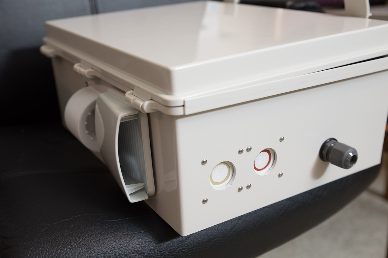
Do you need an automated way to keep track of your product inventory in tanks? [...]


Will you be at the Esri UC this year? We’re excited to share with you [...]
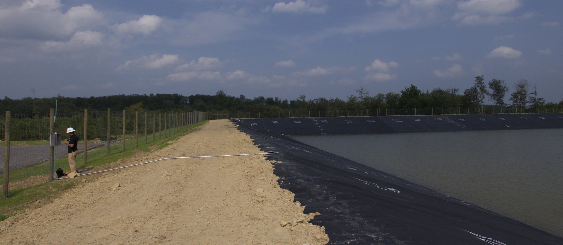
New tools will help Louisiana understand crucial water issues. The development and management of dams [...]


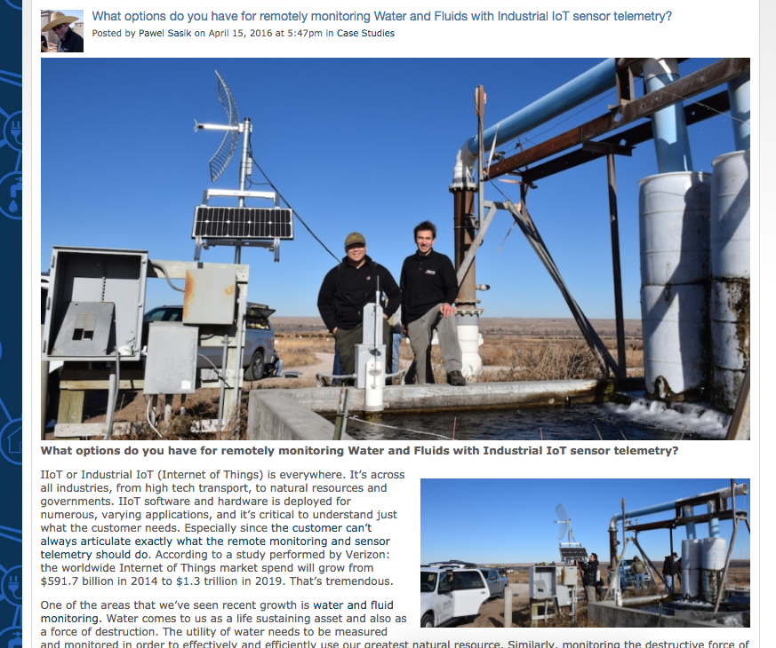
What are your options for monitoring water?
Ultrasonic, radar, non-contact, pressure transducers, what else [...]

Learn step by step how to set up your remote monitoring, sensor telemetry, and [...]


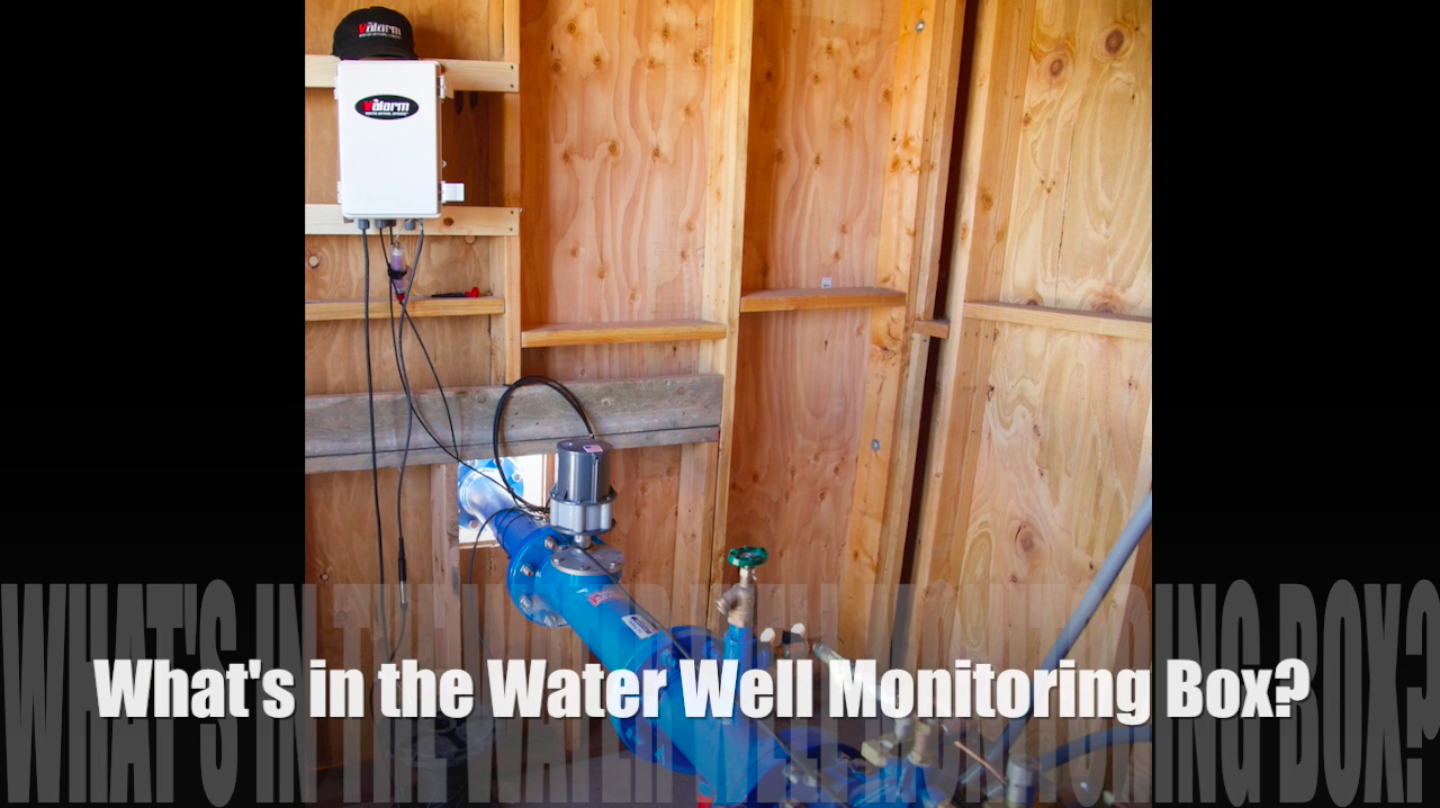
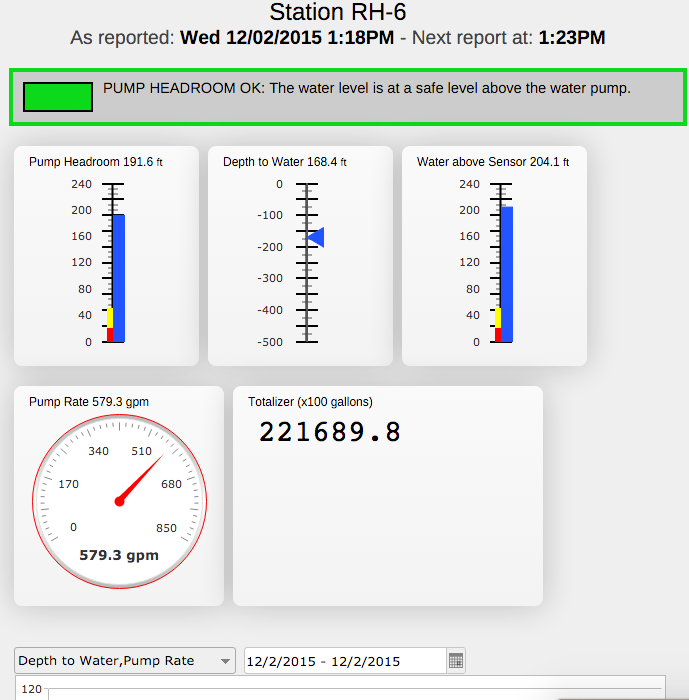
How much water is in the water well?
What’s the depth of [...]

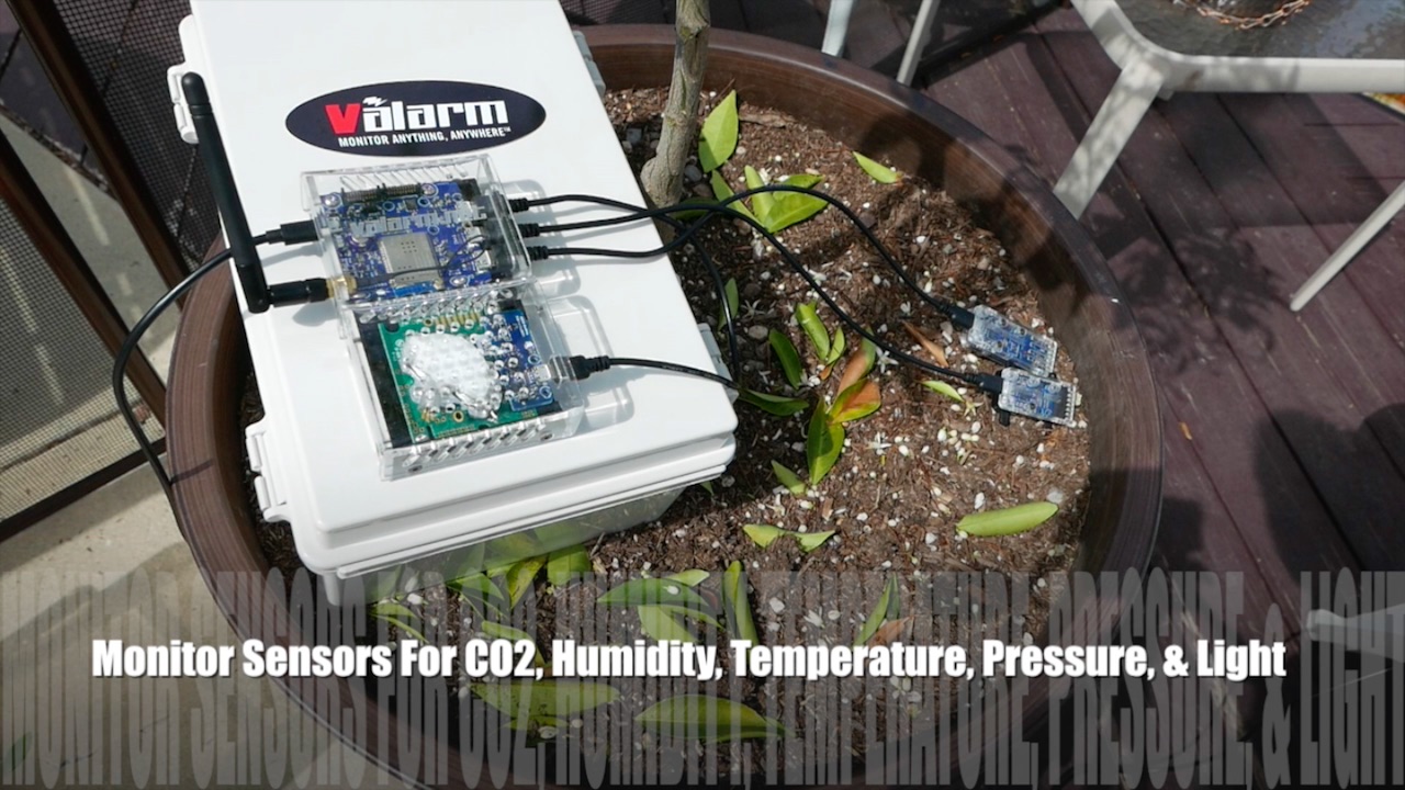
Do you need to monitor greenhouses or hydroponics gardens for any of the following [...]

 Gallery


 Gallery


 Gallery


 Gallery


 Gallery


 Gallery


 Gallery


